")
Cemex is also using Kespry's technology at more than 54 distribution terminals, 50 aggregate quarries and nearly 269 ready-mix concrete plants.
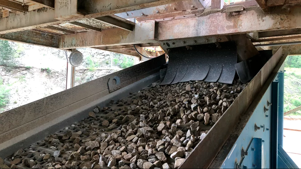
Matt Lewis, director of aggregate resources at Cemex, says: "Since initially adopting Kespry, we have been able to measure 21.1k stockpiles across our aggregates sites while also collecting massive amounts of topographic data into the Kespry Cloud across our cement sites. The amount of time and money the Kespry platform has saved us is unmatched, and we wouldn't be able to operate at this level if it weren't for Kespry."
Kespry says Cemex has been able to map 184,000 acres of land over the course of 4,112 drone missions.
The company uses Kespry's technology to help with invoice validation when working with contractors that excavate overburden or plant feed as well. Site managers can gather measurements using the Kespry Cloud then compare those to what the contractors found and settle on an agreed cost.
This ensures that they only pay for what gets excavated, Kespry adds.
Kespry CEO Krishnan Hariharan says Cemex is a “critical member of our beta testing programme at Kespry and have been providing valuable feedback on our software that allows us to enhance our offering to all mining and aggregates customers”.
Kespry has also helped Cemex adhere to social distancing requirements and ensure associate safety by keeping them off dangerous stockpiles or rigged terrain.


. Pic: HD Hyundai Infracore-Develon")