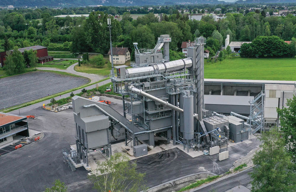
Drones and cloud-based solutions represent cutting-edge technology driving big improvements in quarry operation efficiency worldwide. Guy Woodford reports on the latest developments in this sector.
Quarry managers can now use Airware’s solution to plan, dispatch jobs and fly drones on repeat flight patterns around one or more quarry sites anywhere in the world. This saves a significant amount of time and, as a result, money, when needing to carry out regular site and fleet performance surveying work.
In another eye-catching, cloud-utilising software innovation, Airware’s Fleet Analysis Module, developed with Caterpillar, now allows users to capture and report back daily on the idling time and linked fuel waste of all loading and hauling equipment models in both mixed and single OEM fleets. The Airware software allows for 3D and 2D models of a job site to be created, enabling quarry operators to pinpoint exactly where and at what times machines are most idle. This enables potential problems, such as excessive machine idling times at lunch breaks and shift changeovers, to be swiftly addressed.
On the Fleet Analysis Module 2D quarry site map, loaders and haulers are colour-coded depending on whether they’ve been idle for up to 2 minutes, two-five minutes, or above five minutes – enabling simple identification of the worst model offenders.
Emmanuel de Maistre, vice president, AEC Solutions at Airware, said: “Before, quarry managers only had a global view of idling problems. Our solution allows for a deep dive into the data, to understand where and when problems are happening.”
Cat Connect Services offers different levels of service to support customers in getting the best site efficiency.
“This technology will help our dealers offer a seamless workflow to site development and road building contractors from project planning through grading dirt,” said Andrew Kahler, product marketing manager, John Deere WorkSight. “The data gathered from the Kespry system will help our customers and equipment operators make decisions that reduce costs and improve productivity as they optimise the job site and spend less time on jobs.”
“Our relationship with John Deere will accelerate the adoption of drone solutions in industrial markets and will rapidly change how business is done in construction, road building and other industrial sectors,” said George Mathew, chairman and CEO of Kespry. “These advanced aerial intelligence systems are already changing the face of work in industrial markets as surveyors and contractors are able to retool their skill sets for this increasingly connected world.”
Meanwhile, Kespry has equipped its new Kespry Drone 2 with higher performance features that deliver significantly greater accuracy and reliability. The enhancements are said to make the drone even more ideal for a wide range of industrial applications, including material stockpile inventory and quarry face and haul road surveying in quarrying.
Kespry Drone 2 is said to achieve four to six times the accuracy of the previous Kespry Drone System. “Customers are looking for a complete drone solution that provides survey grade accuracy, without sacrificing speed and convenience,” said George Mathew, CEO and chairman of Kespry. “The enhancements to the Kespry Drone 2 – bringing centimetre-level accuracy – exemplify how Kespry is innovating the industrial drone space through its Aerial Intelligence Platform.”
By adding a high-performance ground receiver, the Kespry Drone 2 can deliver claimed accuracy of 2-10cms. The Global Navigation Satellite System (GNSS) base station receiver serves as a single survey control point. During flight, imagery from the Drone 2s and data from the base station are collected simultaneously. Both data sets are automatically uploaded for processing in the Kespry Cloud, where accurate survey-grade data is automatically generated. Such degrees of accuracy are critical for quarry and mine planning. The single ground control point simplifies survey applications as it eliminates the need for multiple control points and additional manual measurements in the survey process.
“When we started working with the Kespry Drone System about a year ago, we were trying to find ways to be more efficient,” said Murry Cline, vice president of operations with APAC-Central. “We can now fly our Kespry Drone 2 over our entire 60-acre aggregate site in about 15 minutes. Previously, it would have taken us about a day or a day-and-a-half to do the inventories and a few more days to do the calculations.”
Post-Processed Kinematic (PPK) technology is used to increase the accuracy of photogrammetric aerial images. Integrating PPK improves the speed, efficiency and reliability of gathering survey-ready data in commercial and industrial environments. “We’re ready to take the Kespry system to the next level, going beyond calculating inventories using the drones for things like mine planning and other applications that will give us even greater business advantage,” Cline said.
APAC-Central, is a subsidiary of Oldcastle Materials, an industry leader in asphalt and concrete pavement construction, materials and services.
Drone-based solutions deliver the most value when their data gathering capabilities are integrated with specialist commodity management and stockpile management solutions for sites including quarries and mines, argues Michael Schwartz, Eka Software Solutions’ executive vice president (VP) and chief marketing officer.
“The right commodity and stockpile management software eliminates the difficulties associated with additional manual processing or staging data across multiple systems. Even same-day reporting is possible.
“In other words, what takes place on the ground is just as important as what goes up into the air. With an end-to-end solution, site operators can define their own quality parameters for stock and use timely surveys to ensure it is met. The quality of the volumetric information enables them to raise orders when movement of product is needed – and include billing information in the same system. Together, the software and hardware give decision-makers the ability to monitor stock across their entire enterprise and, if necessary, adjust and re-grade the site’s stock levels. What’s more, when mobile user technology is included in the mix, they can do all this from a web-enabled tablet in the palm of their hand.”
Schwartz believes drones are changing the way that surveys are completed. “They are even transforming the accuracy of the data and the speed at which it reaches partners in the supply chain. But the greatest advantage of unmanned aerial vehicles (UAVs) to quarries and commodities businesses is when they are viewed as an information-gathering tool for sophisticated software solutions rather than as a solution in their own right.”
Eka’s executive VP and chief marketing officer says the company’s commodity trading and risk management software integrates drone surveys in Eka’s 3D Stockpile Manager. “Drones complete site surveys in 50 per cent of the time at less than half the cost, providing greater accuracy and improving margins,” claims Schwartz.