Surveying specialist
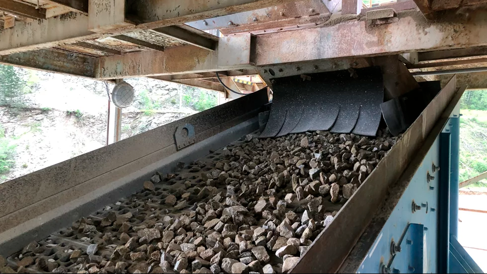
Version 2.5 of Construction Manager uses Global Positioning System (GPS) technology, wireless communication and the internet supplies quantitative information to analyse and improve asset productivity and overall construction operations, saving time and eliminating unnecessary project costs. According to Trimble, the system offers a variety of easy-to-interpret charts, reports, and dashboard views provide information needed to analyze and evaluate construction operations and take action in real time.
Users now have the ability to create an unlimited number of multi-sided polygon sites for managing equipment site entries and exits, as well as on-site machine utilisation and productivity reporting. For complex worksites, such as road construction and quarries, Trimble has said that Construction Manager can now produce site reports that allow for more accurate job coding and time-on-site data. The polygon site creation tools allow users to easily trace roads, rivers and property boundaries to define site perimeters.


 will take up his position as CEO on October 1, and Vincent Bia will take the role of Chairman of the Board, continuing to contribute his expertise and strategic vision. Pic: BIA Group")