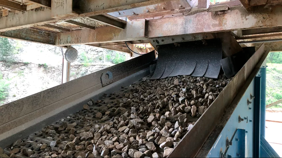
Methods of surveying a quarry have changed greatly in the last few years, making it possible for a quarry manager or specialist to gather information rapidly.
Sophisticated equipment and the use of impressive looking unmanned aerial vehicles (UAV) and unmanned aircraft systems (UAS) allows quarries to gather vast amounts of information on a frequent basis in a format that can be easily used.
For example,
It says its UAS aerial imaging solutions are designed to drastically reduce time and cost in collecting aerial data, and have already been deployed in many different applications, ranging from volume calculation in quarries to forest monitoring and archaeology.
“DSM [digital surface model] and orthophoto mapping are incredibly useful tools for surveying companies in view of internal progress reporting, boundary and topographic surveying, and volume calculation. When opening up new land in coastal areas, it is absolutely necessary for the surroundings to be surveyed continuously. Dredging companies spend a great deal of time and money on conducting terrestrial survey work, often on a large scale. Trimble UAS are the must-have systems for topographic surveying in locations that are often remote, difficult or dangerous to access,” says Trimble.
In quarry and mine site surveying, a project was carried out to demonstrate the Trimble UX5 and its applications to one of the largest mining companies in Chile, located at 4,200m height.
Such mining sites require quick and accurate surveying to monitor and measure ground terrain changes.
“The UX5 is a suitable mapping tool for such applications, not only for its versatility but also and most importantly for the accurate deliverables generated together with the Trimble Business Center Photogrammetry Module,” says the company.
The work began with the flight planning to properly choose the area of interest (1km²), wind direction, flying height, overlap, flight time and pixel resolution. The area of interest chosen by the mining company was of great importance, with one of the largest piles (80m high), water supplying pools, accessing roads, and processing plants.
The single flight of 27 minutes, at a height of 200m, was successfully carried out without a glitch, and 420 images were taken “Data was processed using the Trimble Business Center Photogrammetry Module [TBC PM]. With a straightforward and fully automatic workflow, the simplicity and accuracy of this software suits the customer needs.
TBC PM allows the generation of high-resolution orthophotos and DSMs with high level of detail. The workflow is completely automated and it can process thousands of aerial images at once,” says Trimble. “During the processing, TBC automatically performs the aerial triangulation, adjusting the photo stations by identifying and matching tie points in the overlapping areas to correct the orientations and relative positions. “Multiple applications can be performed with TBC after the deliverable generation. Based on the mining company needs, the following analyses were done: contours generated at every metre; volume calculation of the stockpile; visual site inspection; height pile monitoring; profiling; surface calculation and analysis; new road projections, and monitoring plants, pools and other mining facilities.
Meanwhile, German drone manufacturer Aibotix says that the tachymeter has long been an essential tool for surveying engineers and it is hard to imagine a surveyor’s portfolio without it. The instrument, used for surveying and measuring points, is able to calculate horizontal directions, vertical angles and slants, and will now be complemented by the Aibot X6 hexacopter from Aibotix, which earlier this year was acquired by
The hexacopter is an intelligent ‘copter platform whose key features are ease of operation and a high degree of robustness, and Aibotix says it was developed to meet the highest requirements of industrial inspection and surveying and is “a revolution in the geo-mapping field.”
Norwegian company Asker Oppmaling tested the Aibot X6 at a 33hectare stone quarry near Oslo, where it compared the ground control points that were measured conventionally with those measured using the Aibot X6. The result: the values measured using the hexacopter are extremely precise.
“All waypoints lie within the accuracy range of the highly precise Trimble R8 GPS,” says Magnus Myhre, general manager of Asker Oppmaling. The intelligent flying robot also makes the work of surveyors a lot easier and saves a huge amount of time, according to Myhre.
“It’s crazy how much time we save by using the multi-copter. We can control the Aibot from a central location, which saves us the laborious task of having to walk through the pit.”
It would usually take three to four weeks just to survey the Norwegian quarry using conventional methods, which require the surveyors to walk through the quarry in order to collect the data. Certain parts, such as dangerous pits and muddy areas, are very difficult for them to access and usually cannot be surveyed.
In Australia, CADS Survey, an Australian supplier of marine, pipeline, and civil surveying services; C R Kennedy & Co, a national importer and distributor of surveying equipment in Australia, and Aibotix surveyed one of the world’s largest diamond mines with the Aibot X6 UAV.
The survey of the Argyle diamond mine in Western Australia meant an interesting challenge. Equipped with a high-resolution digital camera, the Aibot X6 had to vertically photograph the flight from an angle and execute a negative waypoint flight as well. This means that it had to follow a route previously planned on a computer, running 100m below the pilot’s position. The UAV covered almost 100 hectares of the 300m deep mine and captured high-resolution pictures in eight flights, each lasting 10-15 minutes. The collected data were further processed into an orthophoto, a point cloud and a 3D model, all with a ground sample distance (GSD) of 2-6cm.
“Using the Aibot X6, we are able to generate data of the open pit mine with an accuracy which would not have been reached with a common airplane,” says Sam van Eldik, survey division manager for civil and aerial at CADS Survey.
Sirius Pro is designed to deliver orthophotos and three-dimensional elevation models with a high absolute accuracy of 2-5cm without using ground control points (GCP).
“Combining MAVinci‘s precision timing technology with Topcon sub-centimetre grade L1/ L2 GPS/GLONASS RTK receivers, this robust system stands up with a clever solution that helps in the realising of projects in a better and faster way,” says Johanna Claussen, CEO at MAVinci.
Meanwhile,
The software is available in two versions, to support either the Renishaw Void Scanner (a specialist, boom-deployable underground laser scanner} or the Renishaw C-ALS (a slim-line, borehole-deployable laser scanner).
"Void Scanner and C-ALS are two of the most widely adopted underground 3D laser scanners, popular because of their robust nature and ability to accurately gather data in previously inaccessible areas,” says Renishaw, which also offers the Quarryman Pro (see Equipment Focus, Blasting: ABE/ABI September/October 2014). The Cavity Profiler software replaces all earlier versions and both Cavity Profiler C-ALS and Cavity Profiler scanner are being made available by Renishaw to all existing customers, free of charge
Martin Carr, business manager, mining systems, says: “Our new software offers customers many efficiency benefits. Training needs are reduced through intuitive design and guided workflow. Successful scanning is supported by better visualisation of the probe and live viewing of incoming point data.
“We’ve also introduced one-click surfacing and volume calculation for on-site modelling and ensured easy integration with third-party processing software packages. These changes make it quicker and simpler for our customers to capture accurate data, even in remote voids, and make it possible for them to use the data captured in their mine mapping software system.”
3D Laser Mapping, a global developer of laser scanning solutions for the infrastructure and mining sectors has signed a global OEM agreement with Neptec Technologies, an innovative provider of real-time intelligent 3D robot vision products.
The companies say the agreement will lay the foundations for the creation of mobile mapping systems specifically for the mining industry.
Neptec’s Opal scanner technology will complement
The agreement allows 3D Laser Mapping to add automated measurements to mobile mining equipment such as excavators. Opal technology paired with 3D Laser Mapping’s mining solutions will improve data capture and penetration through the dusty and particle-ridden conditions seen in mines.
“Rapidly updated terrain models are a key requirement in the modern mining industry, in both allowing rapid and accurate reporting and as an essential component of automation strategies,” says Dr Graham Hunter, executive chairman of 3D Laser Mapping.


")