")
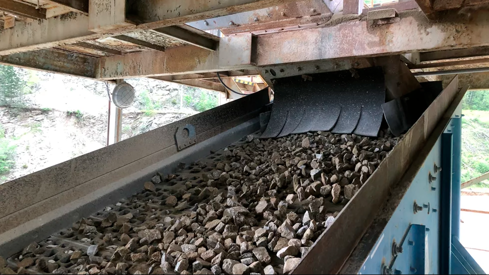
The NDDoT uses drones to fly stockpiles of rock, sand and other building materials and then processes that information to generate accurate inventory numbers.
Botlink says its InSites software uses images collected during drone flight to generate survey maps and 3D models with accurate dimensions. Users can then identify stockpiles of materials they want to measure within the software and get actionable data, the company adds.
During the decision-making process, the NDDoT team tested Botlink's software to ensure accuracy and reliability. The department's survey team went on location and took measurements of stockpiles while also flying a drone and processing the images via Botlink Insites.
Russ Buchholz, NDDoT strategy and innovation director, says: “We compared the Botlink software with our survey team, and the results exceeded expectations.”
Botlink CEO Terri Zimmerman says: “The NDDoT team and our users see real cost savings by quickly getting accurate data, including reducing overproduction and underproduction - both of which have a financial expense.”