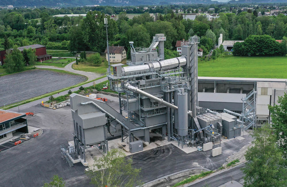
Issues such as safety, visual appearance, environmental protection and future use will be incorporated into a quarry design before plans are submitted
Designs for quarries, and the plans for their restoration, are as varied as the number of locations where quarrying takes place.
According to the British Geological Survey (BGS) via the Explore Quarry Restoration (EQR) some basic principles apply to all quarries to ensure safe and efficient sites during extraction, restoration and subsequent use.
“Quarries operate within a strict planning system and the issues of safety, visual appearance, environmental protection and the future use of the site will be investigated and incorporated into the quarry design before a planning application is submitted,” says the EQR.
“Quarry operators have to carry out an Environmental Impact Assessment as part of this planning process, and develop a sustainable plan for the closure and restoration of the site.
“The quarry design will incorporate the quarry layout, extraction methods and operating procedures.”
This will establish the quarry boundaries, and the extent of the extraction within those boundaries; the required procedures to ensure the safety of all people within or around the site, including the methods that will be used to stabilise slopes and protect against rock-fall, and the position of any slopes and banks during extraction and those that will remain as part of the restoration.
It will also establish the method of accessing all parts of the site and the location of access ramps, both during and after extraction.
“The quarry design will also include a detailed plan for restoration and subsequent after use, environmental management procedures, a method of working, details of infrastructure such as roads and buildings, and the requirements for processing equipment.”
Indeed,
“Permanent GNSS reference stations can be installed to provide RTK [real-time kinematic] corrections for machine guidance and survey rover at centimetre level accuracy. Automated haul trucks can operate around the clock to achieve maximum productivity based on algorithms that derive the most efficient routing: autonomous drill rigs with GNSS machine control place blast holes at precise, pre-determined locations. Unmanned ore trains carry excavated material to processing facilities, often located at a considerable distance from active mine areas, “says Topcon.
Since November 2010, Schlüter für Baumaschinen has been in partnership with Topcon to distribute machine control solutions throughout Germany.
“While control of machines can now be managed efficiently with positioning technology, there are other tasks fundamental to mine management that can benefit greatly from improvements in safety and efficiency. Surveying and mapping missions required on a day-to-day basis are labour and cost intensive.
“Personnel on foot at the mine site with GNSS rovers or total stations must be constantly aware of the movement of huge machines around them. Their safety is constantly at stake,” says Topcon.
“Working in partnership with Topcon, Schlüter has identified and deployed cutting-edge survey technology combining terrestrial and mobile Lidar [light detection and ranging] mapping. These complementary data sources provide a perfect solution for comprehensive site management. Automated machines clearly offer significant cost savings and automated survey methods are producing similar results.”
Topcon’s Mobile Mapping system is used by Schlüter in the quarry environment to accurately map all haul roads and active excavation sites.
“An understanding of the quality, gradient and length of these roads provides exactly the information required to compute costs, plan both haulroad repair work and the installation of new routes. The data can be accessed in the office almost immediately after a mapping run.”
For inaccessible locations or where a greater level of detail is required, Topcon says that mobile mapping information can be supplemented by the data collected using a static laser scanner, in its case the tripod-mounted GLS-1500.
“The combination of these surveying and mapping technologies provides mine and quarry operators with critical information on an as-needed basis under compressed time schedules. The end result is safer, more efficient and cost effective methods to collect essential data for operations, maintenance and planning.”
Global technology company, Maptek, primarily focuses on the mining industry, and as such its products include 3D laser-mapping technology, 3D geological modelling and mine planning software.
It presented a new quarry planning software package, Vulcan Quarry Modeller and introduced the latest developments in 3D laser scanning at the recent
“The I-Site 8800 delivers the next generation in scanning hardware providing increased versatility and safety monitoring on quarry sites,” says Maptek
“Fast and reliable scans aligned with Maptek digital imaging and modelling software have led to partners at a quarry in County Leicestershire, England, being able to use rock face analysis to detect less than 0.5m sized changes and determine where rock falls have originated.”
Indeed, working in partnership with Oakes Surveys, Maptek has developed a new approach to the monitoring of quarry rock faces using its I-Site 8800 long-range laser scanner and accompanying Studio software.
This has produced a solution to acquire and process data to help understand changes in the rock face and rock falls using a method that is said to be safe, cost-effective and unparalleled in its accuracy.
By surveying the 1km x 600m and 150m deep quarry, which has been operational for more than 70 years, I-Site sales and technical consultant Graeme Cowie and Oakes Surveys’ Andrew Beardsley have developed a service that will allow quarry companies to ensure highly efficient planning and monitoring with regard to health and safety procedures on site.
Because the quarry has been operational for a long time, weathering of the higher benches has resulted in reduced stability leading to rock falls, and this led management at the quarry to seek the source of the break-offs in order to create solutions that would ensure continued safety for staff.
Five visits over a period of 18 months created layered panels of the quarry walls, allowing the surface-change analysis tool within Studio to compare segments or break-offs over time.
The software is able to pinpoint changes to the rock face of less than 0.5m by using different colours to determine variations.
This has led to greater understanding of how the walls are developing over time and allowed for greater accuracy in the placement of berms.
Management of the quarry now have topographic data that show, with a high degree of accuracy, the shape of the walls and benches, and this updates the standard generic models that were used previously when designing rock-fall solutions.
The patterns created highlight critical issues and allow for cost-effective solutions to be developed, thereby aiding profit maximisation on site.
Firmatek, a Selma, Texas, US-based company sought ways to improve its efficiency and accuracy in serving its clients, and it chose Dynascan, the laser-based mobile scanning system from UK-headquartered MDL.
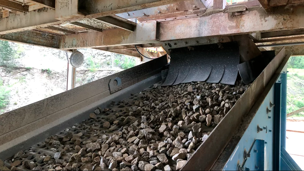
Firmatek-3D Mapping Solutions and its predecessor companies have served Texas and neighbouring states with engineering services since 1989, and have since measured over 40,000 stockpiles at more than 140 operations in seven states. It still specialises in stockpile measurement and has added topographical surveying to its menu of services for the mining and construction industries.
Firmatek’s predecessor company, Measurement Solutions, is said to have pioneered the use of laser-based surveying systems in the US mining market. Using the Quarryman laser and Boretrak borehole measurement systems developed by MDL (Measurement Devices Limited), Measurement Solutions began to develop methods for making blast design and stockpile measurement more accurate and efficient.
The Quarryman Pro is the latest version of MDL’s aggregate and mining industry laser profiling system, currently in use by many major surface mining and quarry service companies worldwide.
Applications include 3D mapping of entire quarry or mine sites, determination of 3D rock face geometry, blast design and volumetric surveying of stockpiles and reserves.
MDL’s industry standard Cabled Boretrak enables users to quickly and safely survey blast hole geometry for blast design and audit purposes.