The car or truck mounted system offers a mobile 3D precision mapping and survey system that uses dualfrequency Global Navigation Satellite System (GNSS) signal tracking with positional and inertial measurement. The company has said that this combination integrates laser scanning and digital imaging.
Using 3D laser scanners, LIDAR, and/or cameras, the data collected is integrated, time-stamped and georeferenced.
According to Topcon, the customer can then quickly and accurately combine LIDAR "point cloud" and digital imaging data to build 3D models of the areas driven.
Topcon president and CEO Ray O'Connor said, "Topcon's Inertial Positioning System (IPS) makes it possible to track motion through 3D space, creating an instant solution to myriad asset management and data collection applications." With its high accuracy scanning and inertial measurement capabilities, its ability to support a variety of sensors and its 360-degree hemispherical digital video camera system, O'Connor said, "The IP-S2 can gather accurate measurement data in extremely difficult conditions, such as tunnels, under bridges, in heavily wooded areas or urban canyons.
"The applications for the IPS2 are limitless," he said. "Whatever you can conceive of in the areas of asset management, data collection on precise location of virtually any subject, using digital photography capabilities, as well as laser scanning options, with its onboard tools the IP-S2 can do the job." The
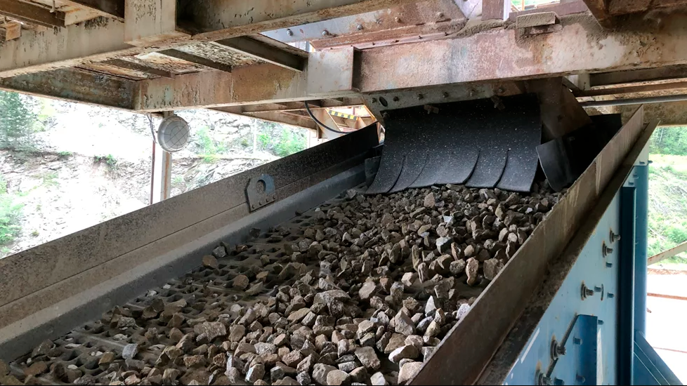
IP-S2 standard system includes three high-resolution LiDAR scanners that cover the vehicle path at ground level and sweep the adjacent areas to a distance of 30m. The technology can provide location and geo-referencing with survey accuracy of visible utilities, traffic signals and roadways, modelling GIS maps, examining tunnels, taking inventory of and collecting 360-degree digital images (at a rate of 15 frames per second) to catalogue surroundings in real time.