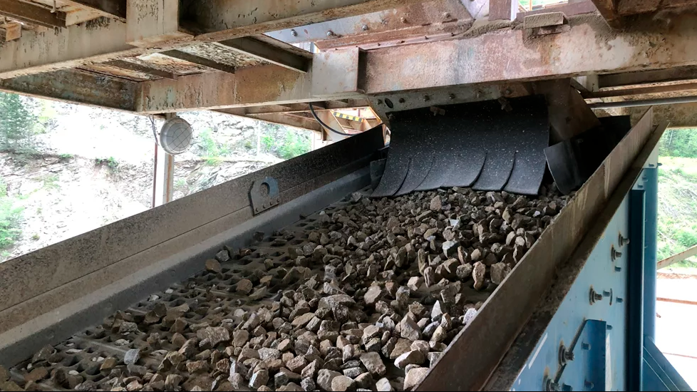
Gravel-dominated beach and barrier systems are common around the UK and provide important coastal defences, especially in low-lying regions. A new, four-year research project, funded by the Natural Environment Research Council (NERC) and entitled 'Gravel barrier coasts' (GBCoasts), will deliver enhanced understanding and modelling of gravel barrier systems. The project aims to support more sustainable coastal management by increasing resilience and reducing the vulnerability of coasts to climate change.
BGS will use a new community modelling system, 'Coastal modelling environment (CoastalME)', alongside terrestrial, marine and groundwater models to characterise how a combination of processes along gravel barrier coasts control coastal flooding and erosion.
CoastalME will produce numerical simulations to support multi-hazard analyses under present and future climate change scenarios. These will project over a range of timescales:
- How multi-hazards will respond to predicted climate change processes and impacts
- How humans are affecting future hazards
- How we will be affected under different coastal management scenarios; for example, how do gravel barriers respond to individual events, such as storms, in the context of longer-term, 'progressive' trends, such as sea-level rise?
The results will support improved coastal management decision-making based on the improved understanding of how gravel barriers evolve over longer time scales under different climate conditions and human intervention scenarios.
The findings will be combined with an assessment of the role of coastal habitats, resulting in national maps of vulnerabilities of coastal habitats to climate-driven multi-hazards for protective services. BGS will also provide tools to analyse the efficacy of future coastal management schemes.
"The GBCoasts project will enable us to better address the transformational challenges that many communities along the UK's coastlines are facing today and in the near future regarding ever-increasing risks of coastal flooding and coastal erosion," said Andres Payo Garcia, BGS Coastal Geomorphologist.
To achieve the objectives of GBCoasts, there will be a collaboration between the different sectors of UK academics, engineering consultants and research institutions.

, Heidelberg Materials recycling MD, and Richard Wilcock, recycling director, at the Appleford site")