To get the best out of drone technology you need to find the right partner says Michael Schwartz, executive vice president and chief marketing officer, Eka Software Solutions.
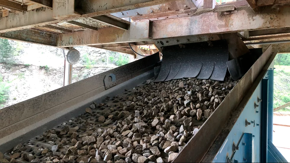
"Once confined to the depths of the earth, stockpile surveying used to involve weeks of trudging through stockyards manually evaluating stockpiles. The work was tedious, cumbersome, and frequently generated inaccurate results.
[caption id="attachment_82304" align="alignright" width="199"] Michael Schwartz, Eka Software Solutions' executive vice president and chief marketing officer[/caption]
Today, many quarrying and mining commodity businesses are flying high with the use of Unmanned Aerial Vehicles (UAV) – better known as drones – taking to the skies for monitoring and measuring stockpiles. Sites are increasingly less likely to see a worker striding out in the early morning walking the site than they are a flight operator behind a computer screen controlling the monthly survey.
Equipped with a standard SLR camera, state-of-the-art drones can capture hundreds of images to create an overview of the available materials on hand, quality levels, and intake requirements – and are changing the way that commodity surveys are performed. Reducing the costs of surveys The advantages of using drones are pretty clear.
Until recently, quarry operators and their immediate downstream partners spent thousands of dollars each month for piloted stockpile surveys. With costs running at anywhere between $4,000 and $10,000 for each piloted survey, the monthly survey was a pricey business.
Where ground surveys are carried out, both the direct OpEx and the opportunity costs can also be substantial, as teams walk the yard and take manual measurements for up to weeks at a time. In contrast, the capital cost of drone equipment currently falls between $2,000 and $5,000. Even when the training costs for using the equipment are factored in, the use of UAVs could save the industry up to 50 percent of its monthly costs.
What’s more, the same drones can support mapping and surveying as part of the exploration process as well as monitoring land-use for potential hazards and ensuring environmental standards are met. They consequently enhance their value to the company – one of the reasons that UAVs can now be found throughout the industry.
For organizations that prefer to ascribe monthly surveys to the OpEx budget rather than CapEx, there is even a small but growing industry providing outsourced drone services.
Speed and accuracy
The advantage of drone-based surveys is more than just budgetary. Both piloted and ground-based survey methods allow for standard accuracy variations of three centimeters. But drones can adopt relatively low flight paths, without having to worry about the health and safety aspects of overhead structures and conveyer belts.
[caption id="attachment_82303" align="alignright" width="300"] A drone flies over a mining site. Eka's 3D Stockpile Manager software feeds off drone gathered site intelligence[/caption]
As a result, they can capture images at extremely oblique angles and deliver more accurate measurements. Depending on the quality of the equipment, users can expect a variation of two centimeters or less. With high-end cameras in place, the variation can go down to 1.5cm per pixel.
This difference may appear small, but when replicated over a full-sized stockyard it can represent millions or even tens of millions in profit saved or loss avoided. With far greater accuracy in the resulting 3D models, drones can deliver accurate data that makes a significant contribution to minimizing variance in inventory allowances.
Operators can therefore avoid inventory swings, alleviate any end-of-year write offs, and provide commodity traders a far more accurate picture on current availability and replenishment needs. This last point is an important one. Effective global supply chains depend on timely, accurate transference of data in order to better manage the sourcing and transporting of goods. Accurate information inevitably leads to better decision-making, which is essential in times of uncertainty when meteorological, geopolitical, and economic fluctuations can cause severe disruptions to a supply chain and the estimated profits and losses of any given trade.
For just-in-time, demand-led delivery, the accuracy and efficiency offered by drone-based technology is invaluable. Of course, the value of that accuracy is enhanced by the speed with which it can be delivered. Neither commodity traders nor stockpile managers can afford to operate on out-of-date information. What used to take piloted surveys a week to complete, drone-based solutions can finish within a day or two – depending on the size of the yard. Unlike airplanes, drones can be set to fly with very little advanced notice, making it possible to react quickly to unexpected events. For even faster results, several drones can be deployed at the same time – a major hazard for manned aircraft.
Turning pictures into profits with advanced analytics
[caption id="attachment_82302" align="alignright" width="300"] A drone flies over a quarry site. Information gathered by the drone can be downloaded and interpreted by Eka's 3D Stockpile Manager software[/caption]
The use of drones is more cost-effective, delivers more accurate information to stockyard managers and commodity traders across bulk industries, and can be much faster and safer than previous surveying methods. Nonetheless, it is essential to see drone-based solutions as a complete package of UAV, software, analytics, and visualization techniques that allow users to gain the most from the information that is gathered.
Tempting though it undoubtedly is to focus solely on the almost sci-fi potential of remotely controlled flying gadgets, the way that information is gathered and processed is just as important. Advanced photogrammetric programs which create 3D models of stockyards from aerial photographs are essential for determining volumetric data with extreme accuracy. From these models, plant inventory, stockpile measurements, volume calculations, and stock measurements can all be carried out. Equally important is the chosen technology for turning the raw data into valuable intelligence.
Highly accurate photos lose some of their value if they must be manually analyzed, replicated, or entered into a separate system. If users have to wade through volumes of raw information without the advantage of intuitive dashboards and data visualizations the information is obsolete before they are done. Drone-based solutions deliver the most value when their data gathering capabilities are integrated with specialist commodity management and stockpile management solutions.
The right commodity and stockpile management software eliminates the difficulties associated with additional manual processing or staging data across multiple systems. Even same-day reporting is possible. In other words, what takes place on the ground is just as important as what goes up into the air.
With an end-to-end solution, site operators can define their own quality parameters for stock and use timely surveys to ensure it is met. The quality of the volumetric information enables them to raise orders when movement of product is needed – and include billing information in the same system.
Together, the software and hardware give decision-makers the ability to monitor stock across their entire enterprise and, if necessary, adjust and re-grade the site’s stock levels. What’s more, when mobile user technology is included in the mix, they can do all this from a web-enabled tablet in the palm of their hand. Drones are changing the way that surveys are completed. They are even transforming the accuracy of the data and the speed at which it reaches partners in the supply chain. But the greatest advantage of UAVs to quarries and commodities businesses is when they are viewed as an information-gathering tool for sophisticated software solutions rather than as a solution in their own right.
Eka’s commodity trading and risk management software integrates drone surveys in its 3D Stockpile Manager.
Drones complete site surveys in 50 percent of the time at less than half the cost, providing greater accuracy and improving margins."
First published on Aggregates Business Europe